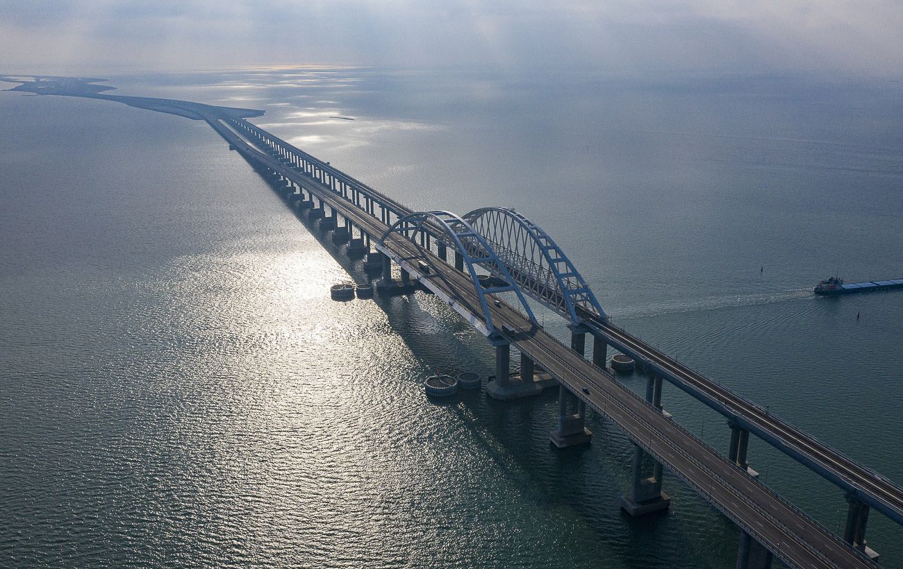
Recent updates to Google Maps have unveiled high-resolution satellite images of the Crimea Bridge, showcasing extensive defensive structures established by Russia to protect the site from potential attacks.
The newly released images provide a detailed view of the security system deployed by Russian military forces around the bridge that spans the Kerch Strait. Notably, the photographs highlight barges positioned along the approaches to the bridge, as well as anti-diversion and boom barriers in the water. Some of these structures are located directly adjacent to the shipping channel that runs beneath the bridge’s arch.
These defensive installations were reportedly initiated following a series of attacks on the Crimea Bridge and an increasing threat posed by maritime drones. The bridge serves as a critical logistical route for supplying Russian troops stationed on the temporarily occupied peninsula, making its protection a top priority for Russian authorities. The latest satellite imagery indicates that defensive measures surrounding the structure are being continuously reinforced.
Recent satellite images from Google Maps depict significant defensive enhancements around the Crimea Bridge, reflecting Russia's ongoing efforts to secure this vital logistical route. The images reveal various barriers and structures aimed at deterring potential attacks, particularly from maritime threats.